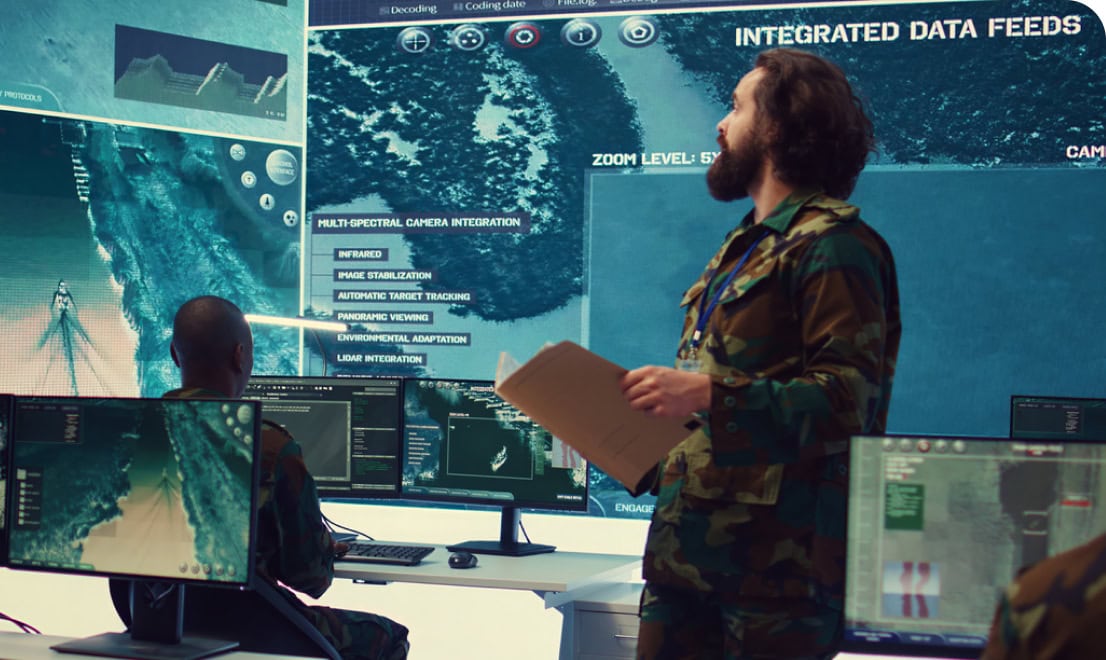
Transform disparate data into actionable intelligence
Focus on the mission with insight from the big picture

Multi-Int Data Fusion
Our patented data fusion and event visualization framework will help you overcome data aggregation challenges and feed your common operating picture with a concise and accurate representation of events.
Geospatial Visualization and Analysis
Our modular approach to visualization and analysis ensures that new geospatial representations and analytical techniques can be applied to correlate between disparate sensor technologies and successful algorithms can be transferred to your operational environment.


Intelligent Automation
We help you discover the narrowest solution spaces to apply automation to ensure your AI/ML is reliable, cost effective, and well understood. Workflow automation and triage are key elements to ensure that your workforce can efficiently consume the ever-expanding digital landscape in its entirety.
Operational Insertion of R&D
We transition technology out of the laboratory and into the hands of real-world operators through rapid prototyping, pilot programs, and optimization. We bridge the gap between researcher inspirations and actual operational needs.

Predictive analytics transitions you from detection to anticipation
We analyze your historical data and apply advanced models to forecast future events. Our novel approach combines past knowledge with predictive insights to generate forecasts that advise your operational responses.
Sync Layer routinely took on the most difficult problems and always delivered.
- Director of R&D – Prime Contractor
Frequently Asked Questions
What makes you different from other companies?
We are serious about mission focus and take the time to understand the problems that operators encounter. Our solutions are adapted to mitigate the identified issues with careful consideration of each impact to the mission.
What is intelligent automation?
Unbounded AI/ML is extremely expensive and unreliable. Intelligent automation requires breaking down the problem into narrow solution spaces that make applications of AI/ML reliable, cost effective, and well understood.
How do you perform comprehensive analysis on data with different geospatial representations?
We leverage a carefully designed common data model to ensure algorithms can be applied with precision across all geospatial representations of data.

